
Garden
Our first monthly aerial portrait of Āhuru Mōwai
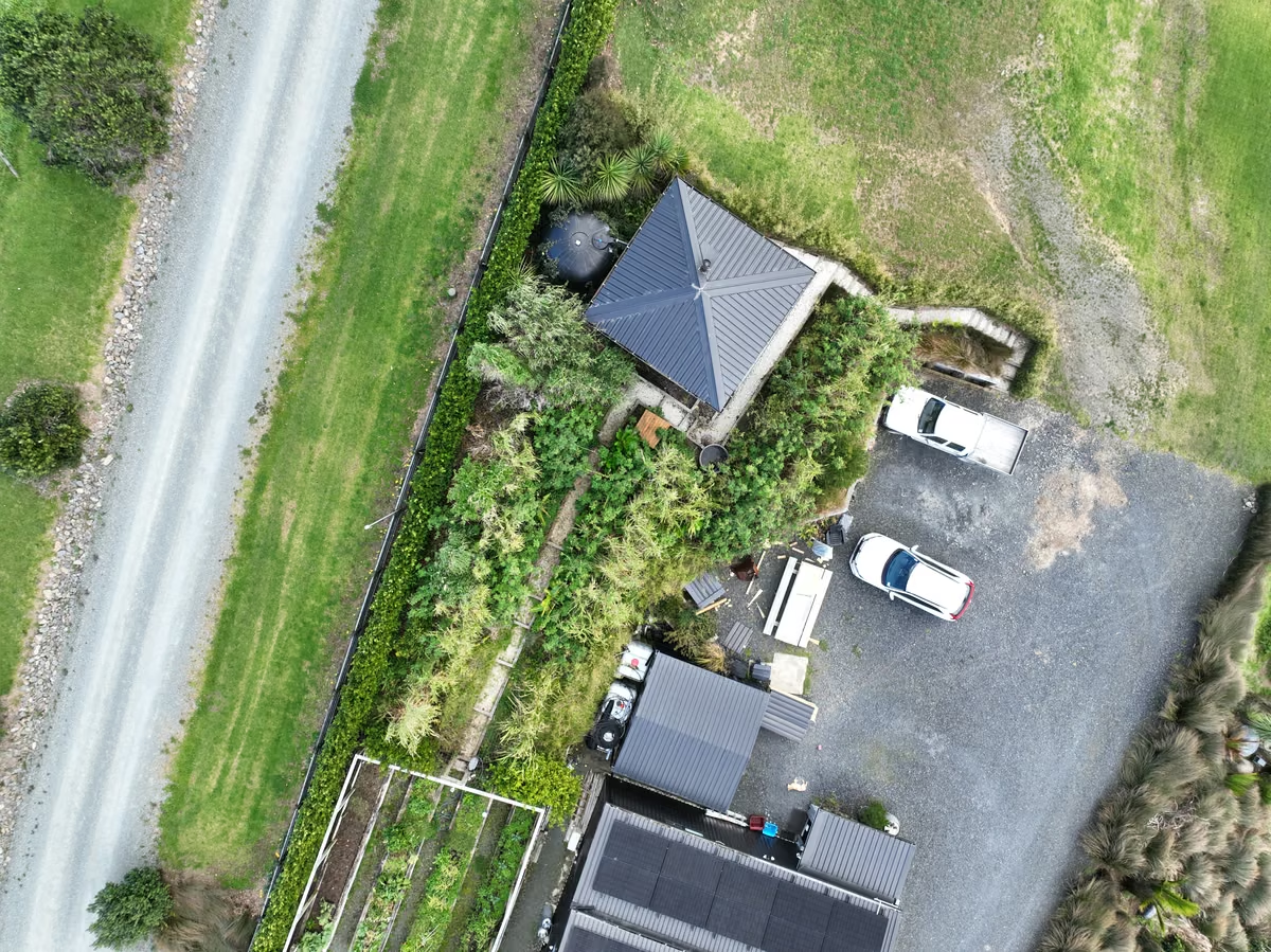
Yesterday, just after midday, we photographed every square metre of this place from the air. Seven hundred and forty-three photos in about 25 minutes, and then the drone came home and landed on a painted cross on the driveway. It was the exact spot it will leave from next month, and the month after, and every month for as long as we live here.
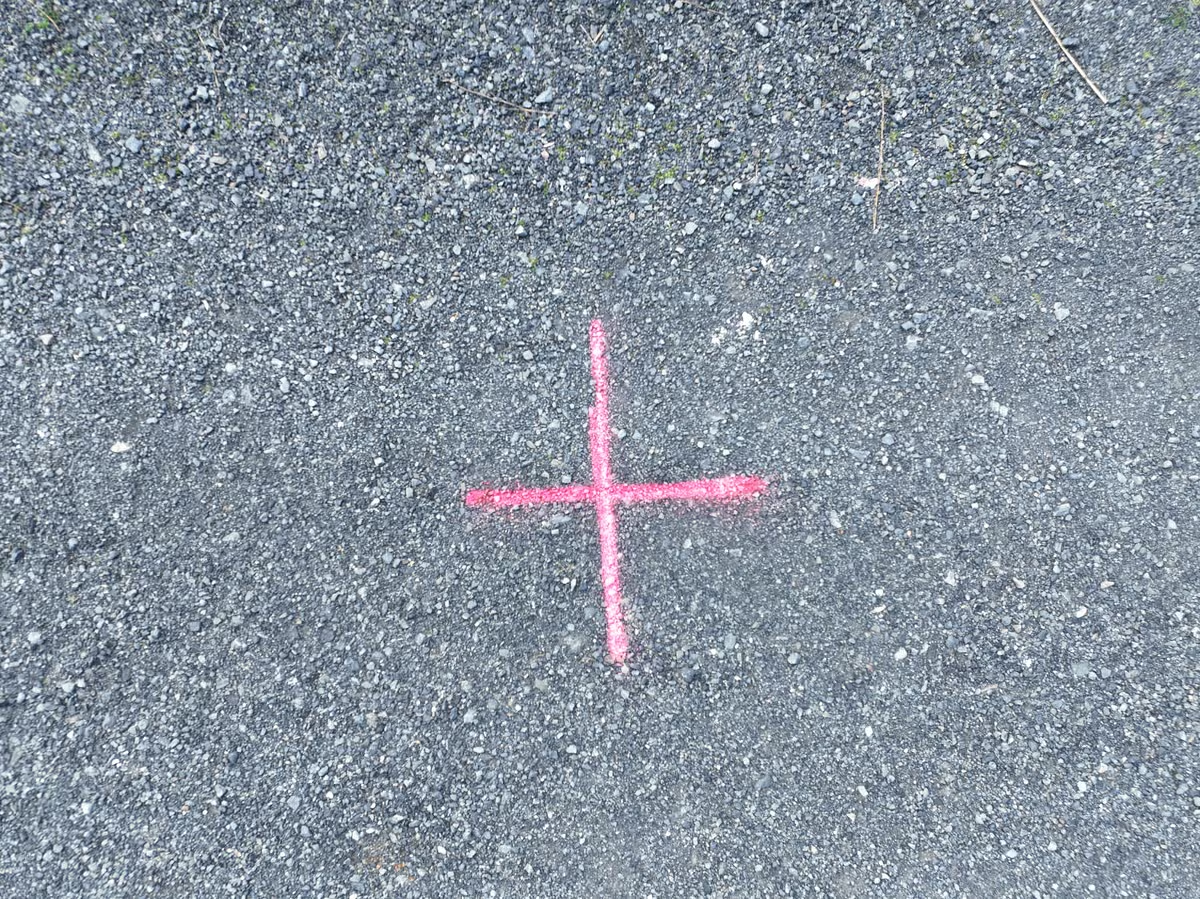
The painted cross gives every monthly flight the same starting and landing point.
That painted cross is the point of the whole thing. One photo of the land is nice. The same photo, taken the same way, every month for years? That becomes something else entirely. A record. A memory that does not fade or argue with itself at the dinner table about how big that tītoki was in 2026.
We've walked this land for years and thought we knew it. From 30 metres up, it turns out we knew about half.
The food forest reads completely differently from above. We can see which beds are thriving and which are sulking. We can see the exact line where the wind comes over the ridge and everything grows a lean. We can see the bones of the old paddock underneath everything we've planted, still faintly there, like a watermark.
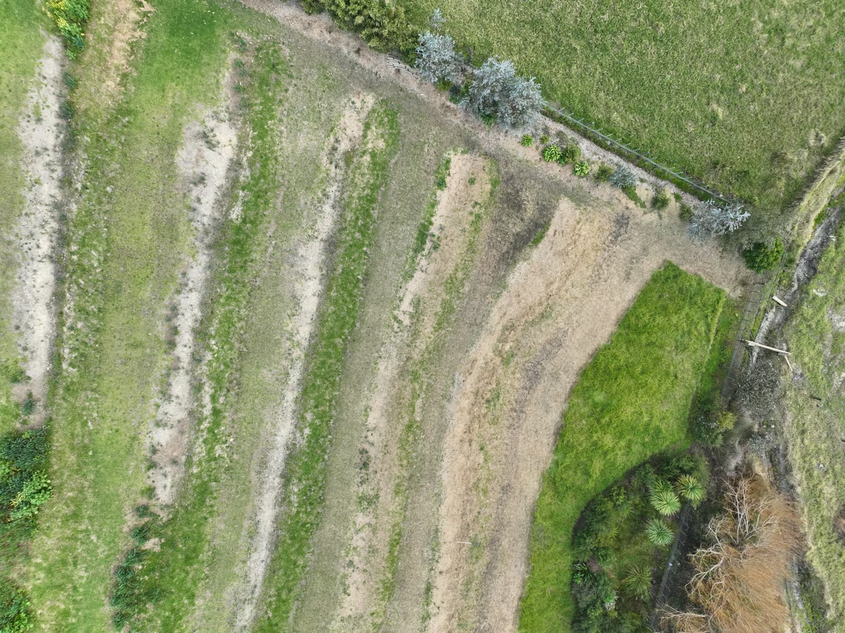
From directly above, old paddock lines and newer planting patterns become much easier to read.
The plan from here is a simple ritual. Once a month, on the first clear-skied day in the last week, the drone flies the same three paths.
Straight down for the map. Tilted sideways for the shape of things, because it's the tilted photos that capture the trunks, banks, and faces of the sheds. That's the stuff that makes the land look like the land instead of a carpet.
All of it gets stitched into a picture so detailed we can pick out individual cabbage leaves, and a 3D model we can spin around on a screen in the evening.
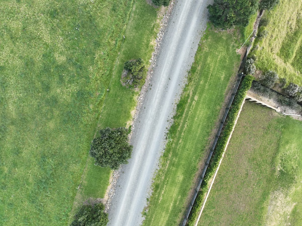
The boundary and road create fixed lines we can use to compare each monthly flight.
Twelve of those a year. In five years, sixty. We'll be able to watch the canopy close over the swales in fast forward. We'll see exactly when the bananas decided they liked their spot.
We'll also catch the invaders early, which is the practical heart of it. Moth plant and wilding pines are a whole different job at seedling size than they are three years in. A grubber instead of a chainsaw. An hour instead of a weekend.
There were some proper lessons this week too, mostly of the humbling kind. The drone's software updated itself the night before the big flight and forgot everything: the flight paths, the camera settings, all of it.
The official first capture happened a few hours later than planned, after some muttering. The land, to its credit, did not move.
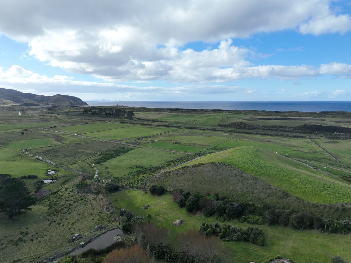
Looking across the neighbouring paddocks towards Ocean Beach and Kauri Mountain.
What we ended up with is a starting line. August 2026 is now frame one. Everything we do from here, every planting, every storm, and every season, gets measured against this week's portrait.
There is something grounding about being kaitiaki of a place and knowing the record will outlast our version of events.
Next month, frame two. We'll show you the first proper map when the stitching is done, and if the winter has been kind, you might even spot the garlic.
Mark Smith is Principal AI Strategist at Cloverbase. To discuss this article or work with me, contact me at Cloverbase.
More in Garden
Keep reading
Garden
Māra: our vegetable garden now has its own agent
I built Māra, a garden system my AI agent runs on my own server: weekly plans, spray records, a seed bank, live sensors, and a dashboard the kids can use.
12 October 2026
Garden
Rebuilding soil on a clay hillside
Six contour swales, three pioneer species, one degraded dairy paddock, and a winter nursery for bana grass. This is the next step in rebuilding soil at Āhuru Mōwai.
23 June 2026